
can you see the fisherman ?


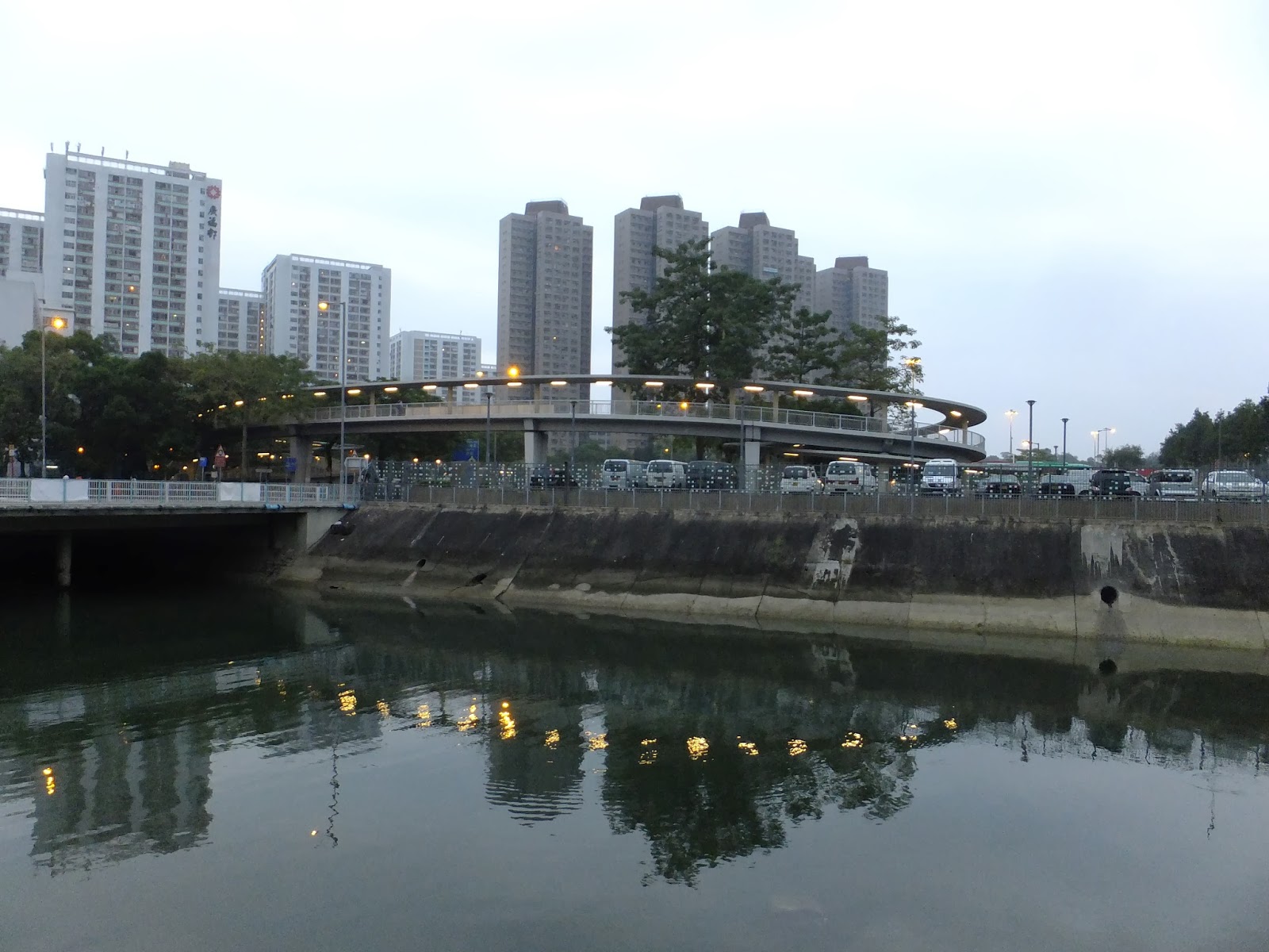 |
| The circle pedestrian flyover bridge across the Kwong Fuk Road. Kwong Fuk Estate is in the background. Looks like a birthday cake ? |
 |
| Another view of The Railway bridge over Tai Po Rover. A slight taste of Japan, At the background is the highway bypass and a football field. |
 |
| The railway bridge across Tai Po River, just before entering Tai Po station. solid and firmly built, hundreds and thousands benefit. At the back ground is the constructing bypass over the Old New Territories Governor residence site. 2013 Nov |
 |
| Wai Yan street, crosses the road would be the famous triangle park, where you find the minibus services to various hinterland villages, such as Bridesmaid fall, Wu Kaw Tang and Lam Tsuen (villages) inside the triangle is an old classic building which is a power sub-station. |
 |
| This is the another bridge that across the Tai Po River, before joining with Lam Tsuen River. Linking Kwong Fuk Estate and the recreational junction. Far in the background is the first bridge, which is used by car as well. This one is pedestrian use. |
 |
| One of the older bridge in Hong Kong, rebuilt of course, linking the Tai Po Government office to the Old Tai Po Market, old , should be old, as inside the street market,there is an old Temple. This bridge should be the Kowng Fuk Bridge, in Autumn Festival, with the lighting, is quite good looking at night. One can imagine it liked the bridge in Florence,Italy. ( Not really, unless we add some Goldsmith stall and a wild boar stature.) |
 |
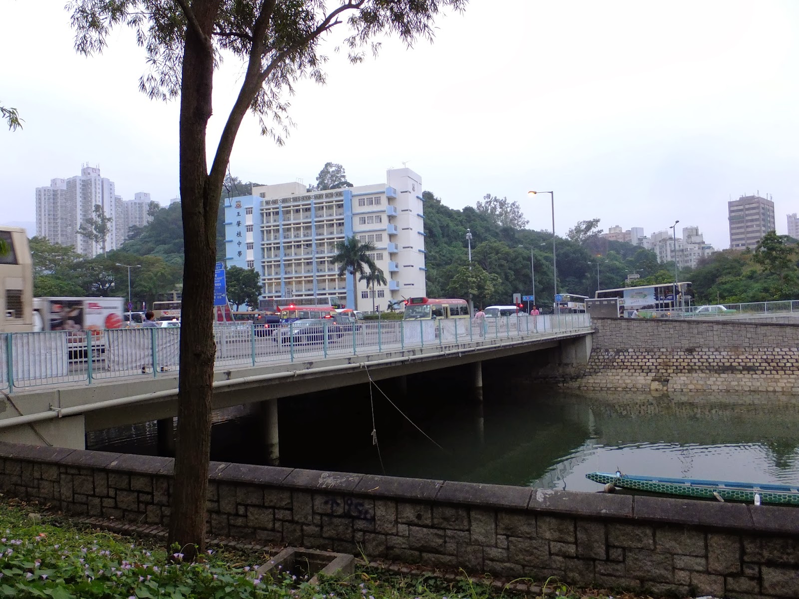
| This Bridge connects the main road from Tai Po Centre to Old Tai Po Market.You can see the 4 main support at the bridge base. Basically, the design of the bridges in Tai Po repeats itself, differs only in the width and has its beauty in the simplicity and functional appeals. There are still some fishing boats sheltering under the bridge. Most may set off in the morning. Still some fishes find in Tolo harbour. |
 |
| A storm was approaching, as the Lam Tsuen river joins the Tolo Harbour, one can see the Tai po coastal park in the left side and a ? bird was watching the changing weather, probably enjoying the sea breeze? No fish in sight..... |

 The good bridge that links Tai Po cnetre towards the train station.
 This should be where the resettlement buildings Luk Heung Chuen for the plover cove residents .
 This is an old photo from web, should be where Uptown plaza is now. ( around 1984. ) Can see the hill line at the background.


